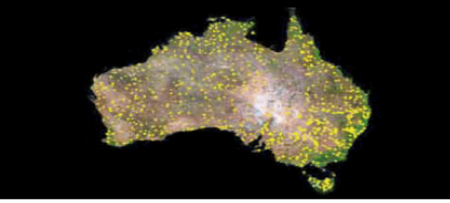
This document provides an overview of how emissions are estimated from the land sector (extending over 106 million hectares) to determine for Australia’s national inventory report. The design of this system relies heavily on the application of satellite data to assess land use change and the use of a modelling framework to estimate the biomass of vegetation on lands across Australia, the carbon stored in above and below ground vegetation and soil and emissions resulting from land use and management activities.
The Land Sector in the National Inventory